History of the Swiss Border
Historical Tour of Switzerland at the Borders
Quick Access: France Germany Austria Liechtenstein Italy
1935 km of border with five neighbors and 7132 boundary markers.
Swiss Confederation / French Republic
From Mont Dolent to the Port of Basel
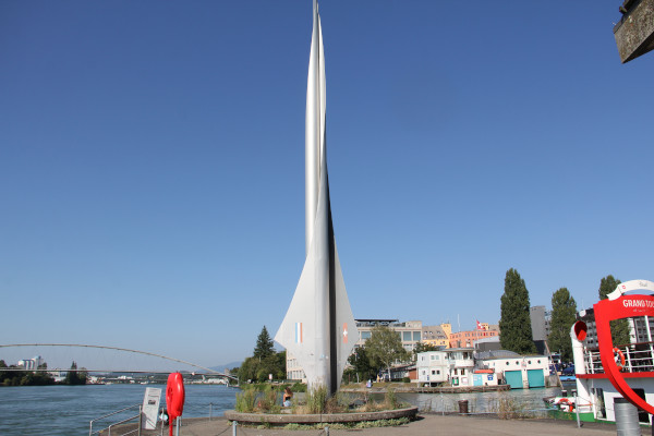
From Mont Dolent (Italy-France-Switzerland tripoint) to the Port of Basel (France-Germany-Switzerland tripoint), the French-Swiss border stretches over 585 kilometers. It touches the cantons of Valais, Geneva, Vaud, Neuchâtel, Jura, Solothurn, Basel-Landschaft, and finally Basel-Stadt.
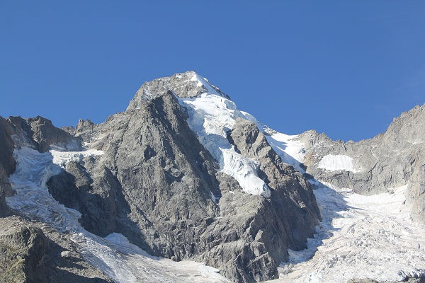
From Mont Dolent to Lake Geneva (Valais-France)
The 91 kilometers of the French-Swiss border from Mont Dolent to Lake Geneva at Saint-Gingolph are today marked by 98 boundary stones, supplemented with a few intermediate markers. This border roughly follows the watershed between the direct Rhône basin and that of the Arve and subsequently the Dranse rivers (of Morzine and Abondance).
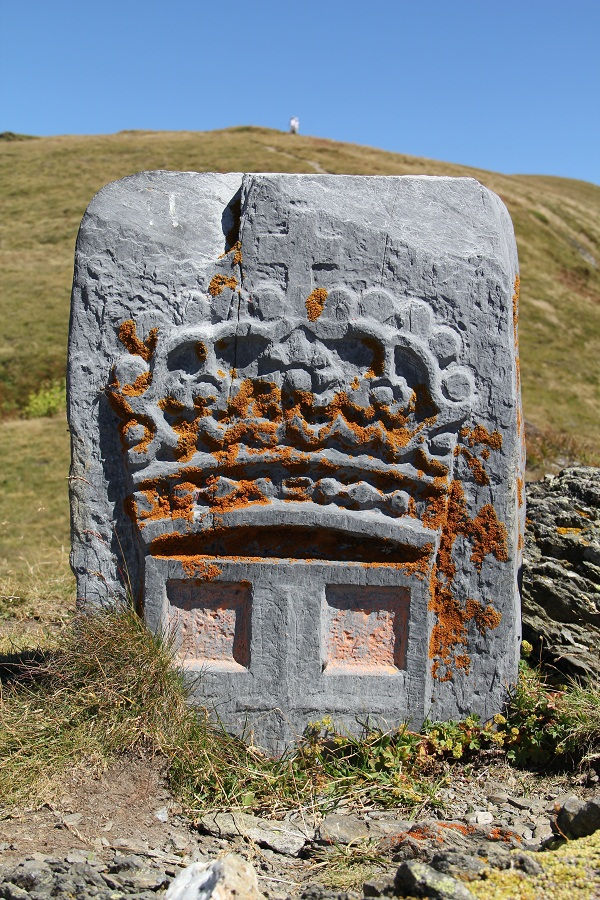
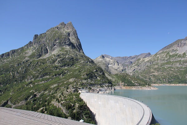
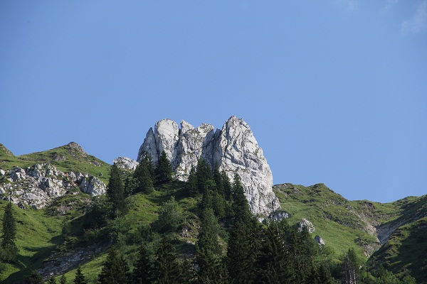
The visible boundary markers along this stretch cover roughly the past five hundred years. The border itself has an even longer history. From the Morge of Saint-Gingolph, likely separating Celtic tribes, through abbeys and priories that shaped the boundary along ridges, and the incessant skirmishes between Savoy and Valais, the Valais territory eventually took its current form in 1569. Opposite this State of Valais, the Duchy of Savoy and later the Kingdom of Sardinia were replaced in 1860 by France along the stretch from Mont Dolent to Lake Geneva.
From each era, there remains a trail of traces: place names, stones, boundary markers, or carved rocks illustrating the history of international delimitation. Morgins, the Morge, the Pierre des Limites, the Savoy crosses, the Valais coats of arms from the Seven Tithings to the Thirteen Districts, and the symbols of the Bishop of Sion and the Abbot of Saint-Maurice still dot the boundary line, supplemented by numerous modestly inscribed markers. All of this lies within breathtaking landscapes where mountains and torrents also serve as natural boundary markers.
Lake Geneva
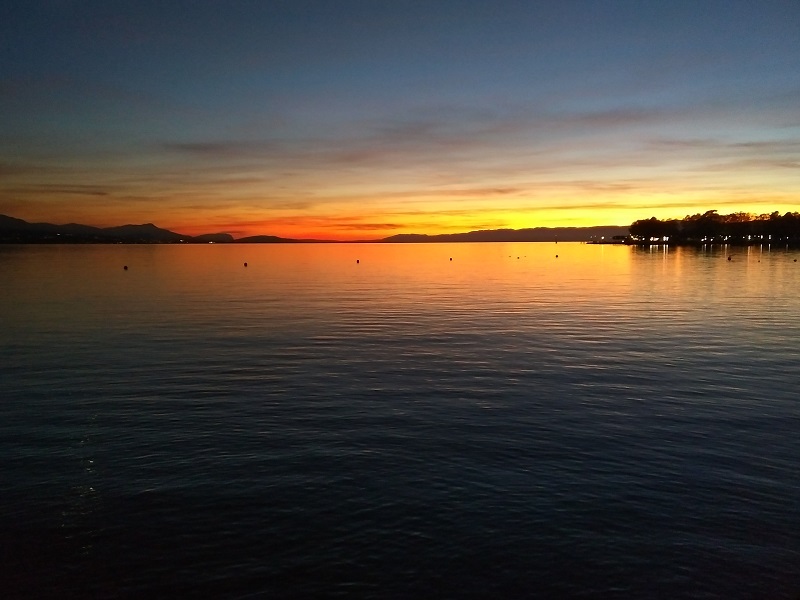
The French-Swiss border in Lake Geneva stretches over 58.9 km and touches the cantons of Valais, Vaud, and Geneva. Historically, the middle of the lake logically served as the boundary between neighboring sovereignties, as exemplified in the description provided in the Treaty of Lausanne of 1564 between Savoy and Bern. In 1953, the Swiss Confederation and France opted for a six-sided polygonal median line, supplemented by two transverse straight lines at Saint-Gingolph and Hermance.
From Hermance to Moulin de Grilly (Geneva-France)
The French-Swiss border in the canton of Geneva is quite unique in that it does not rely on natural heights like the Alpine or Jura ridges. The 103 kilometers of the international boundary lie in the plain and on the lake. This unique situation necessitated the placement of a very large number of boundary markers (445 markers).
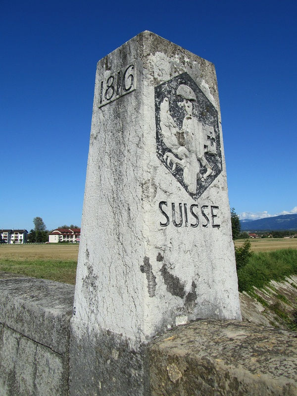
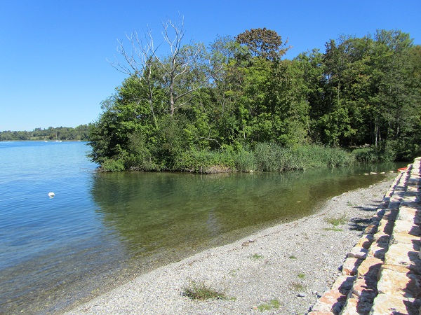
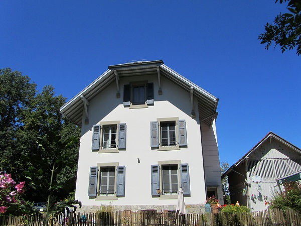
The current territory of Geneva stems from the Treaties of Vienna and Paris in 1814 and 1815. Geneva joined the Swiss Confederation in 1815 as the twenty-second canton, with a slightly expanded territory to ensure a connection to Switzerland (Versoix region) and territorial continuity between its historical possessions. At that time, Geneva's international border touched two states: to the east and south, the Kingdom of Sardinia, and to the west, the Kingdom of France. In 1860, Savoy voted to join France, making the international border exclusively Franco-Genevese. Urban development during the 20th century prompted a few minor adjustments to the boundary. The Sardinian and Genevan eagles, along with the royal lilies of France (Restoration), still adorn some historic boundary stones, occasionally even beyond the border. Walking along the canton’s boundary is a surprising historical and pedestrian discovery.
From Vitiau to Moulin de Grilly (Vaud-France)
A lacustrine and a Jura border: these compose the international boundary of the canton of Vaud. While the lake is unsuitable for boundary markers, the Jura has proven favorable for their placement and preservation. A total of 309 markers and several intermediate stones, spanning over five hundred years of history, line the 91 kilometers of Vaud’s terrestrial border with France.
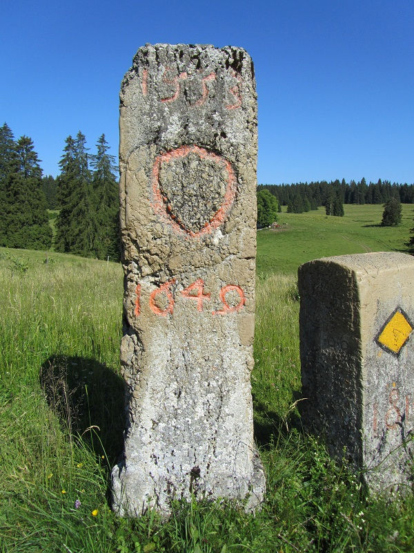
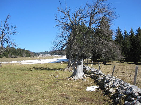
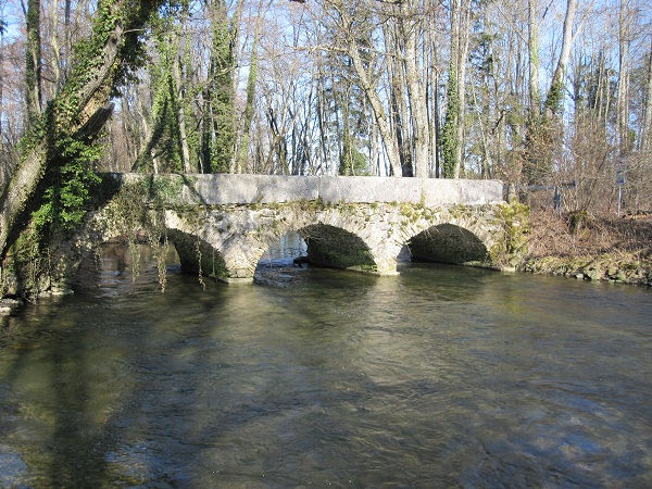
The region of Vaud has been successively Helvetic, Roman, Burgundian, Savoyard, Bernese, Helvetic, and finally a Swiss canton since 1803. The border tracing along the Jura ridges was heavily influenced by the establishment of several priories and abbeys in the region from the year 1000 onward. However, it was the Bernese, arriving in Vaud in 1536, who systematized border marking with stones. First in the north, at Sainte-Croix in 1553, and later in the south, in the Versoix region in 1564 following the Treaty of Lausanne. The two ends of the region were connected by a continuous boundary marking starting in 1649. At that time, Bern bordered Spanish Franche-Comté. Magnificent markers from this era, adorned with lions and bears, still remain in the Jura forests. Franche-Comté became French in 1678 under Louis XIV, with some markers featuring the three lilies to signify this change. In 1798, Vaud gained independence and joined the Helvetic Republic, one and indivisible. Markers bearing the acronym RHUI recall this period in Swiss history. In 1803, Vaud became a full-fledged canton, with green-and-white crests marked "Liberty and Homeland" adorning stones from 1824 alongside the lilies of the French monarchic restoration.
An important chapter for the French-Swiss border unfolded in the Dappes Valley in the mid-19th century. Napoleon III’s France sought to incorporate the entire strategic road route of the Col de la Faucille into French territory. Known as the "Dappes Affair," this led to a treaty in 1862 exchanging territory between the Swiss Confederation and the French Empire. Boundary markers featuring the imperial eagle and the Vaudois crest in the La Cure region reflect the implications of this treaty on-site.
From the late 19th century onward, Switzerland replaced the canton name on the Vaudois side of the border markers. Discovering the Vaud Jura through the prism of its boundary markers fascinates both nature lovers and history enthusiasts.
From Biaufond to Vitiau (Neuchâtel-France)
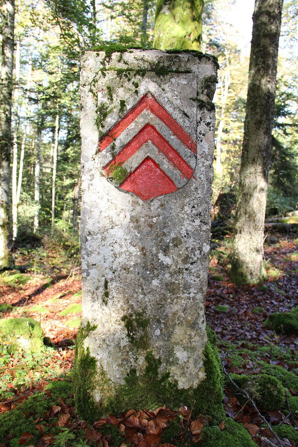
The county of Neuchâtel, which became a principality and later a Swiss canton, has a long history illustrated by the markers on the Jura heights. As early as 1408, the Doubs River was chosen as the boundary between Burgundy and the County of Valangin (which joined the County of Neuchâtel in 1592) from Biaufond to Lac des Brenets. This section of the border has remained unchanged. The Swiss Confederates occupied the county from 1512 to 1529, organizing its boundaries. Between 1524 and 1527, the border from Brenets to Vitiau at Sainte-Croix was finalized and marked with the pal of three chevrons and the Burgundy cross with fire steels as crests. This demarcation was confirmed and extended in 1704 and 1766 by the Kingdom of France, which bordered Neuchâtel after 1678. In 1707, the King of Prussia became the Prince of Neuchâtel and Valangin. The Prussian principality systematically marked its common boundary with France in 1766, leaving behind several intact markers (crests: chevrons/three lilies).
The political upheavals caused by the French Revolution of 1789 affected Neuchâtel a few years later, during the Napoleonic era. From 1806 to 1814, Berthier, Marshal of the Empire, ruled the principality. After Napoleon's fall, the treaties of Vienna and Paris redrew Europe's map. In May 1815, Neuchâtel officially became the twenty-first canton of the Swiss Confederation while remaining (or reverting to) a Prussian principality. The new canton expanded with the addition of the Cerneux-Péquignot municipality. The entire French-Neuchâtel border, from Biaufond to Vitiau, was reviewed, adapted (to include Cerneux-Péquignot), and more densely marked in 1819. The new markers bore the Neuchâtel chevron pal and the French lily of the Restoration. Many of these stones still stand along the border.
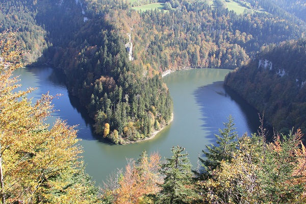
The final act, in 1848, without affecting the boundary itself, involved changes to the flags of the neighboring states. Since then, tricolor flags fly on both sides of the Doubs: blue-white-red for France, and green-white-red with the Swiss cross for Neuchâtel. Only one marker at Brenets reflects this change. The 182 markers placed between river and mountain along the 62 kilometers of stunning Jura landscapes reveal their history step by step.
From Pleigne to Biaufond (Jura-France)
The Franco-Jura border is both the newest in Switzerland by name and the most densely marked. The Jura became a Swiss canton in 1979, and its 121 km border with France features no fewer than 606 standard markers and numerous intermediate markers.
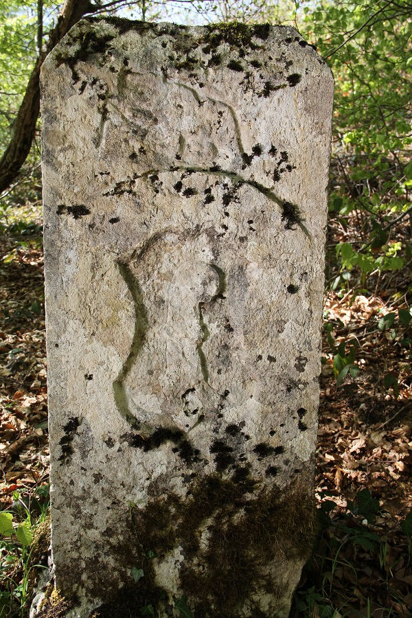
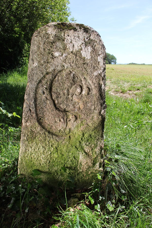
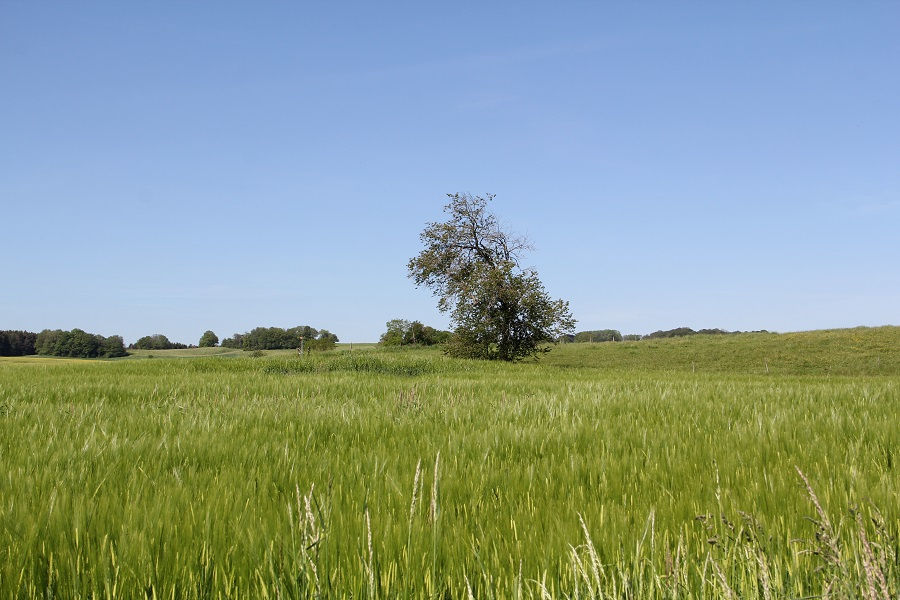
The history of this boundary is intertwined with the formation of the Bishopric of Basel. The Bishopric of Basel refers to the lands under the temporal authority of the Bishop of Basel (the Prince-Bishopric of Basel). Following the Reformation in Basel, Porrentruy became the capital of the principality in 1529. Its territory included the present-day canton of Jura, the Bernese Jura, Laufon, and Birseck. The modern Franco-Jura border was established during the 18th century and essentially finalized after the Treaty of Alliance and the 1780 Convention between the King of France and the Prince-Bishop of Basel. In 1815, at the Congress of Vienna, the powers decided to integrate the Bishopric of Basel (excluding Birseck) into the canton of Bern. From then on, Franco-Swiss commissioners in 1817 marked the former 1780 boundary with the Restoration lily on the French side and the Bernese bear on the Swiss side. In 1979, with the Jura's entry into the Swiss Confederation, the border (excluding Laufon) officially became the Franco-Jura border.
From Petit-Lucelle to the Rhine in Basel (Basel-Landschaft / Solothurn / Basel-France)
Between Petit-Lucelle and the Port of Basel, the French-Swiss border showcases all the characteristics of a boundary shaped by history rather than natural barriers. It spans 51.2 km: 25.9 km in Basel-Landschaft, 20.1 km in Solothurn, and 5.2 km in Basel-Stadt.
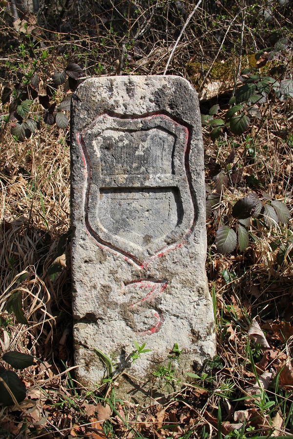
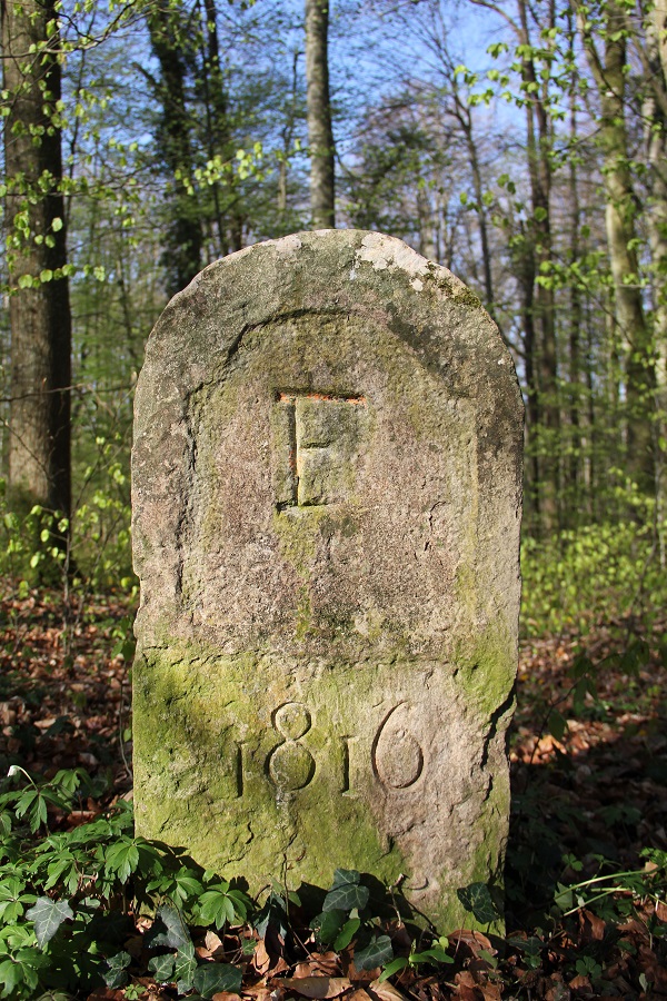
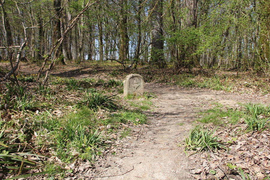
The international border between Petit-Lucelle and Basel has followed a historically stable route for roughly half a millennium. However, the sovereignties on either side of the border have undergone many changes. Since its conquest of Alsace in 1648, the Kingdom of France (Alsace) bordered the territories of the Bishopric of Basel and those of the cantons of Solothurn and Basel. France adopted the existing limits of Austrian Sundgau. The parties systematically marked the boundary up to the Rhine between 1745 and 1747, and again between 1771 and 1789. Many markers from these efforts still punctuate the current border.
Following the expansionist movements of revolutionary France, the Bishopric’s territories were incorporated into the French state in 1793. After the Congress of Vienna in 1815, most of these territories were assigned to the canton of Bern, with the rest allocated to the canton of Basel. A comprehensive boundary marking of the new Swiss border between Basel and Geneva followed. Basel markers bear the date 1816, while those of Solothurn and Bern date to 1817. In 1833, Basel split into two half-cantons: Basel-Stadt and Basel-Landschaft. On the French side, Alsace was lost to Germany in 1871, regained in 1918, lost again in 1940, and finally reclaimed at the end of World War II. This explains the remnants of "DR" (Deutsches Reich) or "D" (Deutschland) inscriptions still partially visible on some boundary markers. Lastly, on the Swiss side, the creation of the canton of Jura in 1979, followed by the attachment of the Laufon district to Basel-Landschaft in 1993, shaped the current map of cantonal sovereignties.
Swiss Confederation / Federal Republic of Germany
From Basel to Thal (SG)
Does Swiss territory stop at the middle of the Rhine? Sometimes yes, sometimes no. Geographically, the Rhine and Lake Constance form the border for about 171 km of the 364 km German-Swiss boundary. Several Swiss territories are located beyond the Rhine or, in other words, on the right bank of the river. The canton of Basel-Stadt occupies both banks of the Rhine. Part of the canton of Zurich also extends to the right bank of the Rhine (Rafzerfeld and Nohl). Most of the canton of Schaffhausen lies north of the Rhine, except for part of the municipality of Stein am Rhein, which occupies the left bank. Lastly, the German city of Constance spans both sides of the Rhine, with its historic part on the left bank being the only German territory south of the Rhine along the German-Swiss border.
From the Three-States Tripoint to Grenzach (Basel-Germany)
The 22 km of border between the canton of Basel-Stadt and Germany are located on the right bank of the river. Basel’s territory on the right bank includes Kleinhüningen, Kleinbasel, Riehen, and Bettingen. Its distinctive shape resembles a finger pointing toward Germany. The international boundary starts at the Switzerland-France-Germany tripoint in the middle of the Rhine. The tip of the "finger" is at a place called Eiserne Hand. The boundary then passes near the highest point of the canton (St. Chrischona, 522 m) before descending back to the Rhine at Grenzacher Horn.
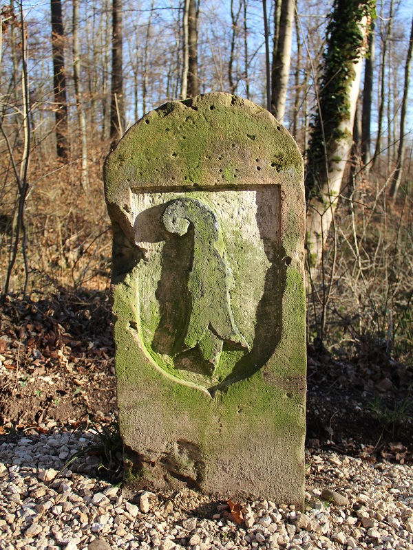
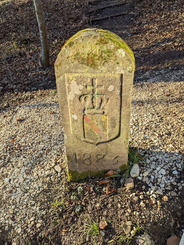
The city of Basel, a longstanding crossing point of the Rhine, has occupied both sides of the river for centuries. It gradually freed itself from the authority of the Bishop of Basel, becoming a Swiss canton in 1501 and adopting the Reformation in 1529. During this century, the city, already in possession of Kleinbasel and Kleinhüningen, acquired Bettingen in 1513 and Riehen in 1522. Since then, the boundary has followed almost the same route as it does today. On the now-German side, sovereignty passed through the Margraviate of Baden, the Grand Duchy of Baden, the Republic of Baden, and finally the German state of Baden-Württemberg. Furthermore, until 1805, the territories of Stetten and Wyhlen (both now German) were part of Further Austria. Thus, crests or inscriptions from each of these sovereignties can be found around the border of the canton of Basel-Stadt.
Along the Rhine (Basel-Landschaft and Aargau-Germany)
We resume the border at the tripoint of BL (Basel-Landschaft), BS (Basel-Stadt), and Germany in the middle of the Rhine near Grenzacher Horn, extending to Kaiserstuhl (AG). A river boundary does not require many delimitation markers. Consequently, they are found only on bridges and hydroelectric dams. Additionally, the portion of the border between Kaiseraugst and Leibstadt dates back to the integration of Austrian Fricktal into the Helvetic Republic in 1802, and subsequently into the canton of Aargau in 1803.
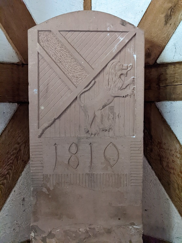
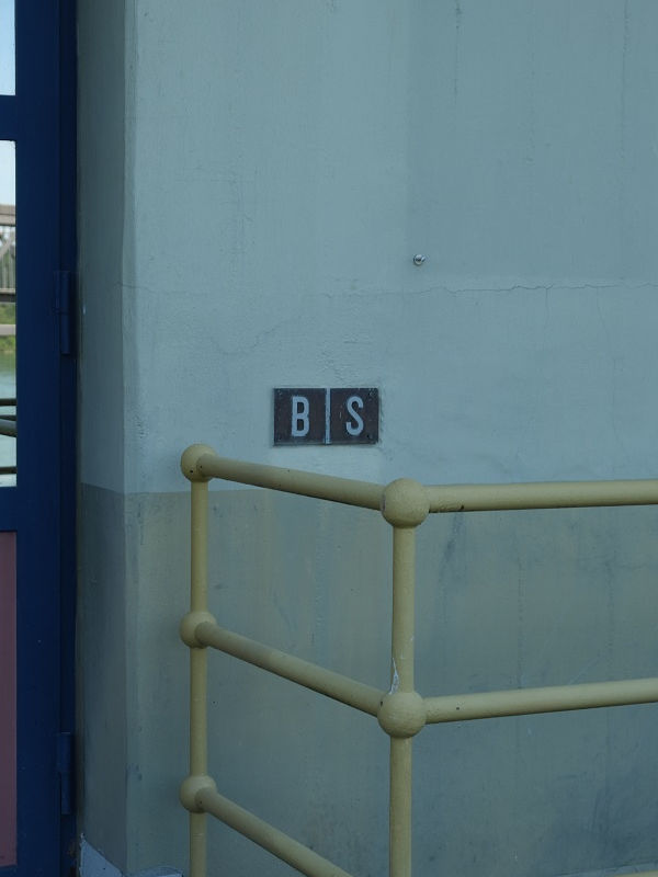
Today, delimitation markers on bridges or hydroelectric structures no longer generally serve as official reference points. The border’s path along the middle of the Rhine is based on a series of unmapped points (digital coordinates). Nevertheless, some historical markers remain on old bridges and dams along the Rhine. For instance, the charming 1810 markers bearing the arms of Aargau and the Grand Duchy of Baden (e.g., on the bridge at Bad Säckingen) commemorate the marking of Aargau's new international border (1803). Similarly, the B S plaques (Baden Republic / Switzerland), such as those found on the Ryburg-Schwörstadt hydroelectric dam, illustrate the interwar period's hydroelectric developments.
Swiss Confederation / Republic of Austria
From Thal (SG) to Piz Lad
From Lake Constance (mouth of the Old Rhine) to Piz Lad, the Austrian-Swiss border stretches for 167 km. On the Swiss side, it involves the cantons of St. Gallen and Graubünden. On the Austrian side, it borders the federal states of Vorarlberg and Tyrol.
The Border in the Rhine Upstream of Lake Constance (St. Gallen-Austria)
Simply put, this international boundary aims to follow the middle of the Rhine as it existed before channelization works. This explains why the border includes portions of the "Old Rhine," such as at Sankt Margrethen and Diepoldsau. For these sections, a series of boundary markers indicates the middle of the Old Rhine. For the channelized parts that form the border, the middle of the corrected Rhine serves as the boundary. The delimitation treaty between the Swiss Confederation and the Republic of Austria dated July 20, 1970, describes the border's path and its marking.
Swiss Confederation / Principality of Liechtenstein
From the Switzerland-Austria-Liechtenstein Tripoint in the Rhine to Naafkopf
The Liechtenstein segment of the Swiss international border lies between the Austria-St. Gallen boundary and the one separating Graubünden from Austria. The border between the canton of St. Gallen and Liechtenstein follows the middle of the Rhine for approximately 27 km. The convention of May 7, 1955, between the Swiss Confederation and the Principality of Liechtenstein defines the details of the border's path along the river. The boundary between Graubünden and the principality traverses a more rugged terrain, spanning 14 km from the Rhine (485 m) to Naafkopf (2,570 m).
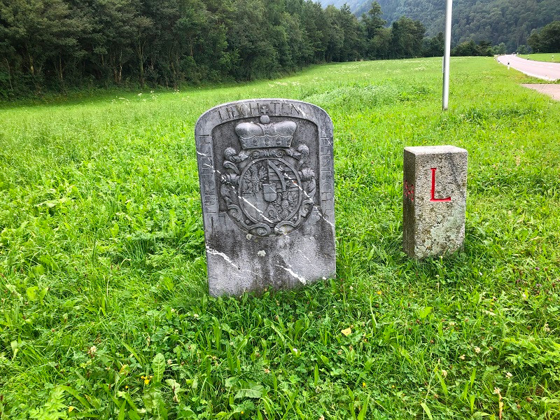
Hans Adam of Liechtenstein purchased the Lordship of Schellenberg in 1699 and Vaduz in 1712. Thanks to the imperial immediacy status of these lordships, Anton Florian (Hans Adam's successor) received permission from Emperor Charles VI of Habsburg in 1719 to transform them into the Imperial Principality of Liechtenstein. The 1735 boundary marker testifies to the marking carried out following this event. The boundary marking and international border between the Rhine and Naafkopf were supplemented in 1871 and 1887 and further modified through territorial exchanges in 1949 (treaty of December 23, 1948). Consequently, most current boundary markers bear the date 1949.
Swiss Confederation / Republic of Austria (continued)
From Naafkopf to Piz Lad (Graubünden-Austria)
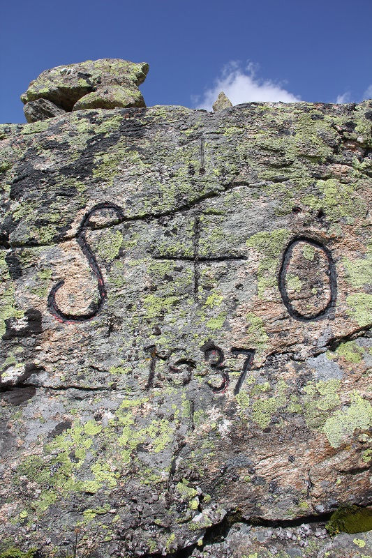
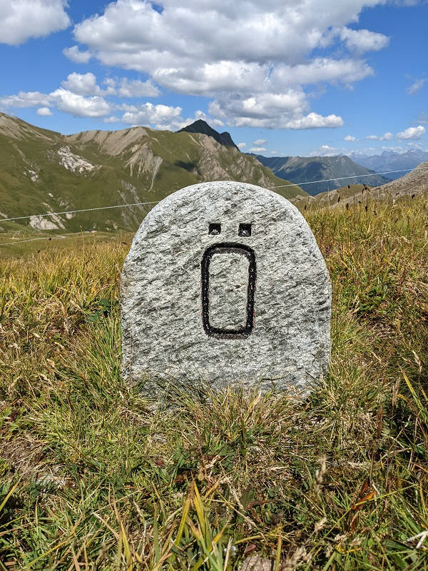
The border is administratively divided into two sections. From Naafkopf to Dreiländerspitz, Graubünden borders Vorarlberg; from Dreiländerspitz to Piz Lad, it borders Tyrol. On July 20, 1970, Switzerland and Austria signed a treaty defining their common border (Lake Constance to Piz Lad). Although the two states abrogated all prior conventions, the border largely retained its historical path. As a result, several markers or inscriptions from 1856, 1870, 1903, 1920, 1928, 1929, 1937, and 1951 remain alongside those installed in the 1970s. Geographically, the international boundary follows the watershed of the Ill basin to Dreiländerspitz, the meeting point of Vorarlberg, Tyrol, and Graubünden. From there to Piz Lad, the boundary follows various ridges and rivers without a clear natural logic. The Switzerland-Italy-Austria tripoint at Piz Lad dates only to the end of World War I (Treaty of Saint-Germain-en-Laye, September 10, 1919). Before this treaty (and the war), the tripoint was located above Stelvio Pass (Piz da las Trais Linguas or Cima Garibaldi).
Swiss Confederation / Italian Republic
From Piz Lad to Mont Dolent
From Piz Lad (Austria-Italy-Switzerland tripoint) to Mont Dolent (Italy-France-Switzerland tripoint), the Swiss-Italian border extends 741 kilometers: 201 km in Valais, 207 km in Ticino, and 333 km in Graubünden.
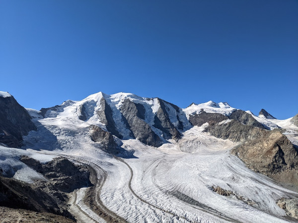
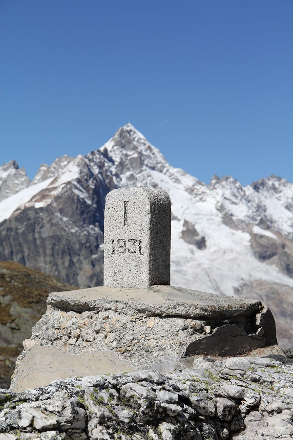

From Piz Lad to Cima di Cugn (Graubünden - Italy)
The border between Graubünden and Italy is a relatively young international boundary. Until 1797, Valtellina, Bormio, and Chiavenna were subject territories of the Three Leagues (Graubünden). On the Italian side, the country's unification was only achieved in 1861. After World War I, South Tyrol was annexed by Italy. Since then, the Italy-Graubünden border extends from Piz Lad (Switzerland-Austria-Italy tripoint) to Cima di Cugn, where Graubünden, Ticino, and Italy converge.
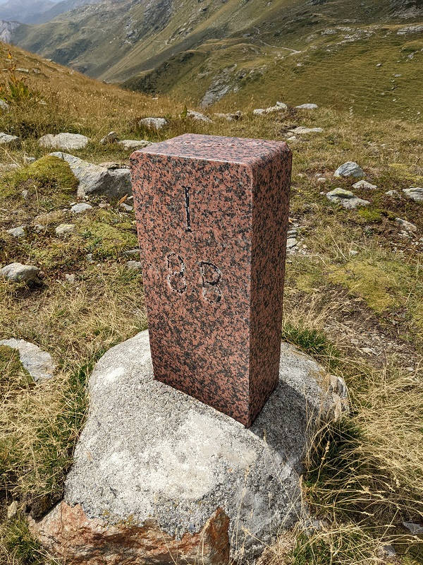
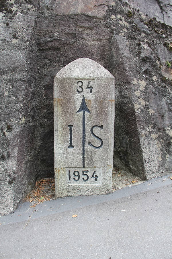
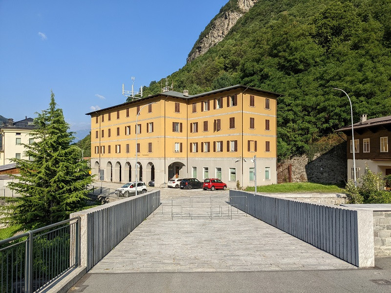
From Cima di Cugn to Piccolo Corno Gries (Ticino - Italy)
The border between the canton of Ticino and Italy stretches for 207 km across mountains and valleys.
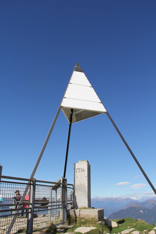
From Piccolo Corno Gries to Mont Dolent (Valais-Italy)
The 201 kilometers of the Italian-Swiss border from Mont Dolent to Piccolo Corno Gries are marked today by 93 boundary markers, complemented by a few older stones. The international border generally follows the watershed line of the Rhône basin. However, it diverges at the Grand-Saint-Bernard Pass and in the Simplon region (Zwischbergen, Simplon Dorf, and Gondo).
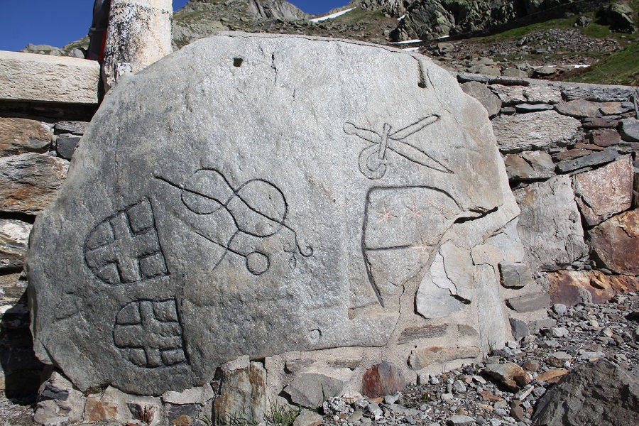
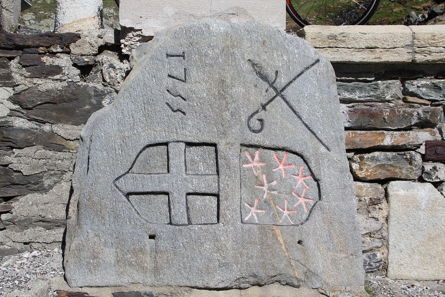
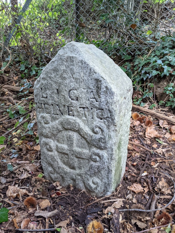
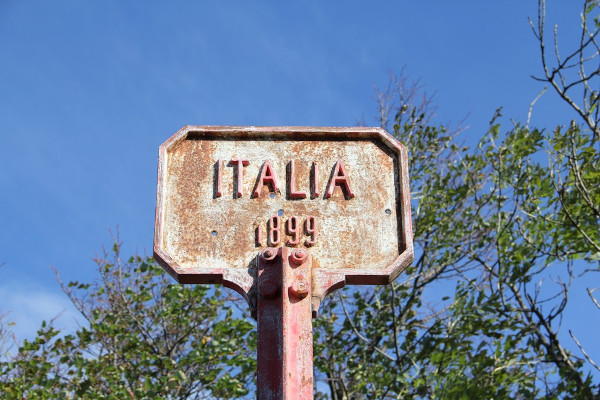
Most of the Italian-Swiss boundary markers still in place today date from the 20th century. However, the demarcation line likely has its origins in the boundaries of Roman provinces. It was later shaped by the construction and expansion of the Valaisan state and the migrations of the Walser people. By the 16th century, the border largely stabilized along its current course. Opposite the Valaisan state, the Duchy of Savoy and later the Kingdom of Sardinia were eventually replaced in 1860 by France (between Lake Geneva and Mont Dolent) and the Kingdom of Italy (later the Italian Republic) between Mont Dolent and Piccolo Corno Gries. More recently, in the 20th and 21st centuries, the development of tourism and glacial retreat have necessitated the installation of new boundary markers in several locations.
Each era leaves its mark on the border. Through its paths, toponyms, engraved stones, boundary markers, or inscriptions on carved rocks, the history of this international boundary unfolds step by step. The Grand-Saint-Bernard and Simplon passes, as well as more secluded passes, the crosses of Savoy, and the Valaisan coats of arms from the Seven Tithings, along with modern inscriptions, all come together to form the historical puzzle of this segment of the Italian-Swiss border. The majestic natural setting of the Valaisan international boundary adds grandeur and a sense of the sublime to this discovery.